Date: 01/14/2015
Distance/Gain: 5.6 miles, 260 ft. of gain
Highest Point: 260 ft
Rating: 7/10
Pros: Views, mix of beach/farmland/historical buildings, ease of hike
Cons: Not a challenging trip, crowds
I was made aware of this hike 2 years ago from an article in the Everett herald, and had put it on my list for a day where I wanted a hike with a big payout without having to put in much effort to get it, and that is exactly what I got.
I woke up at 04:30 with every intention of driving to Mount St. Helen's to do the Boundary west hike. I got up, had my pre-hike/workout shake, and promptly decided it I would take my first week off of hiking since the end of October. The idea of driving 3.5 hrs each way to Mt. St Helens just wasn't going to work for me.
So with the wife at work, and nothing else to do, I continued to sleep in until 10:30. When I woke up it was a sunny clear day outside, and I knew that I could not pass up this good weather. I quickly gathered my gear, and got on the road. Even though the drive is 1.5 hrs, it doesn't feel like it because you get great scenery along the way with driving past Anacortes, over deception pass, and through Whidbey island, there is never a dull moment.
I arrived at the Prairie overlook trail head at 13:00, which is way later than I am usually comfortable starting my hikes, but I knew that this one would be quick. There were about 5 other cars at the trail head when I got there.
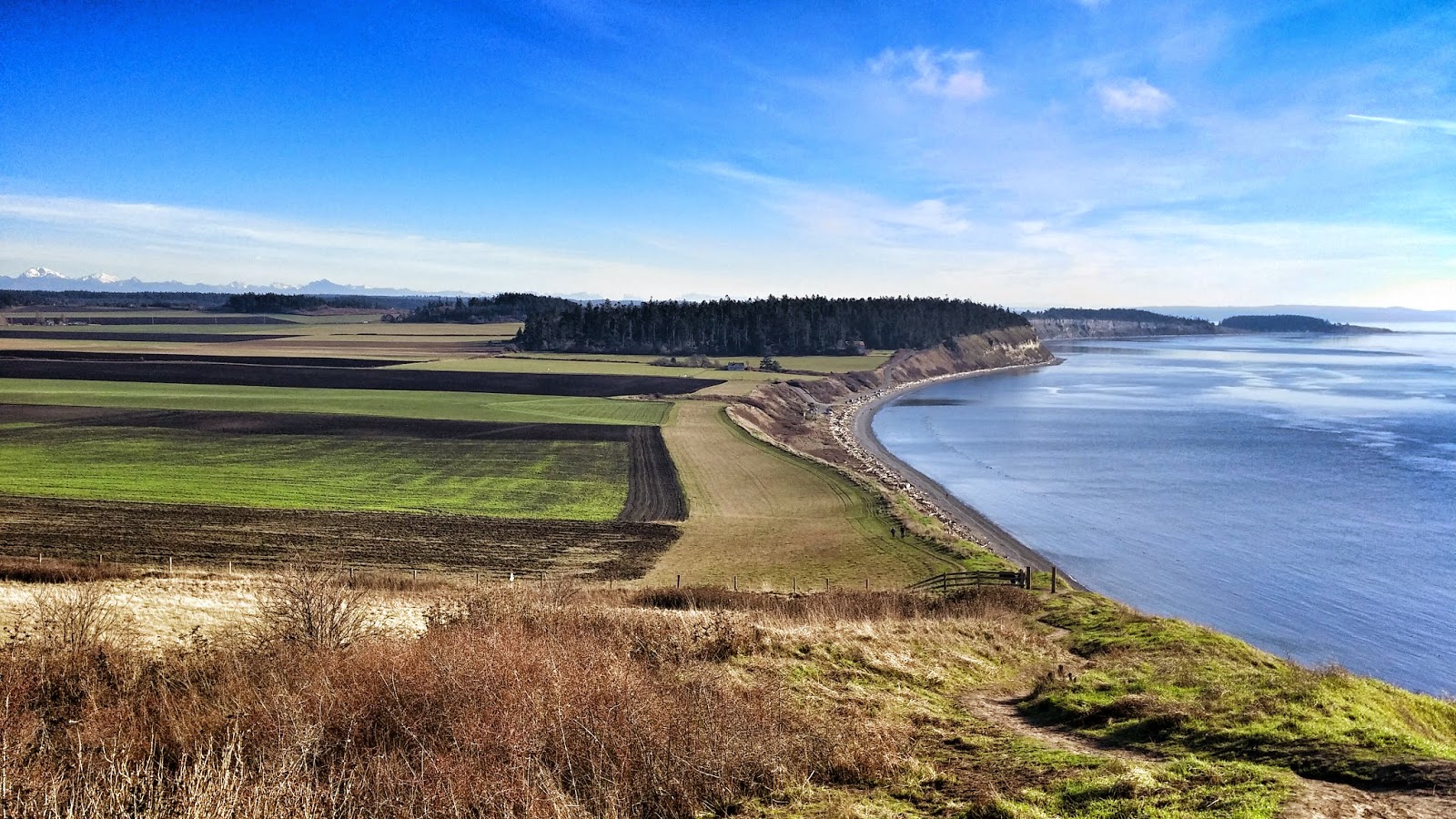
The hike starts off with a nice fence line walk in farmlands. You quickly arrive at a couple of historical buildings that you can explore if you want. You then gain views of the Sound, and can easily see Mt Baker, Rainier, and the Olympics with a simple turn of the head.
After a short walk you will arrive at a "T" junction in the trail, to the left is the beach portion of the hike and the lower parking lot. And to the right is a short trip to the summit, and the upper portion of the trail, either way the trail loops so it doesn't really matter where you go. I however chose to go the the right, up to the "summit" at a lung shearing/quad burning elevation of 260 ft. Ok, so its not a sweat breaker, but it still makes for a rewarding hike with great views.
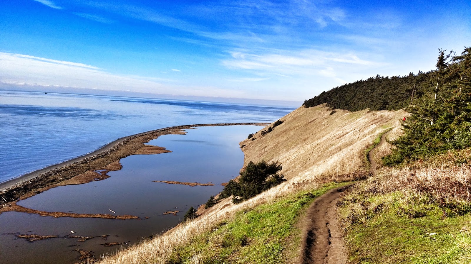
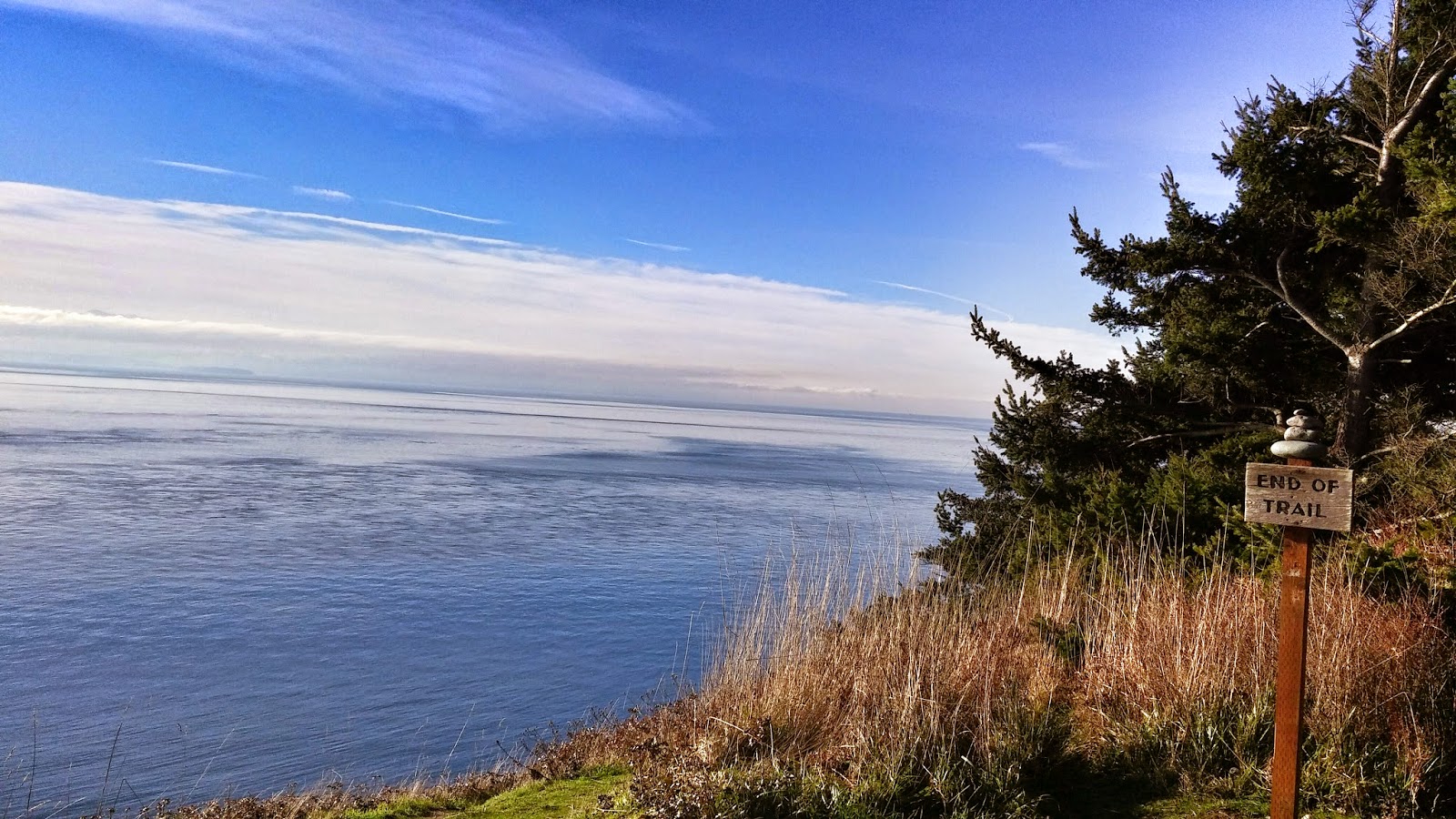
You continue along the bluff trail, with a decently steep drop to your left side. The trip is picturesque, where you enjoy views the entire time. Once you get to the end of the upper trail there is a sign nice enough to tell you "End of trail," where you can either retrace your steps back along the upper bluff trail, or take the switchbacks down to the beach.
I took the beach trail back, its a nice peaceful walk with no obstacles to speak of, just a beach walk. Roughly 2 miles down the beach you will arrive at the lower parking lot, where you will link back up with the upper bluff trail, which is slightly down hill from where you started.
After a short climb arrive back at the Prairie trail junction, where you will take a right back towards the parking lot.
As I said, its not a tough hike by any stretch of the imagination. Its perfect for an "active rest" sort of day from mountain hiking, with a big visual payout.


