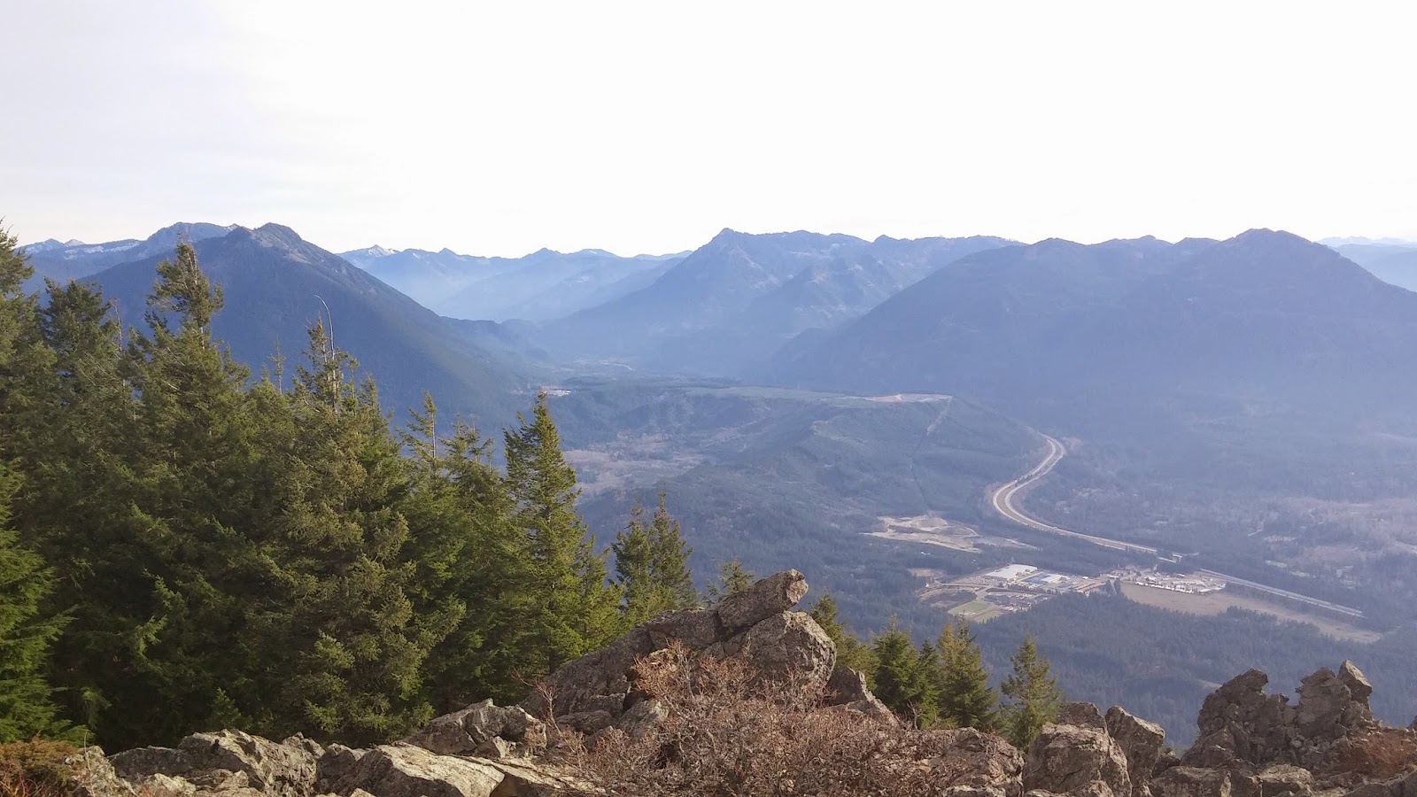
Hike: Mount Dickerman
Date:12/16/14
Distance/Gain: 8.2miles, 3950ft. of gain
Highest Point: 5760ft
Rating: 7/10 (Would easily be an 8+ on a clear day)
Pros:Panoramic views, solitude
Cons:Weather inhibited some views/made navigation difficult at times
I was checking trip reports this week to see what hike sounded the most interesting, and stumbled upon Mount Dickerman. The views from what I found online are exactly why I prefer hiking the North Cascades; Craggy Mountain tops, solitude, and nothing but nature as far as the eye can see.
My hiking buddy could not attend, so I decided to take on the hike solo. I started the drive up around 8:30. Once past the Lake 22 trail head up Mountain loop, the drive itself is very rewarding, you have the privilege of driving through some beautiful country. It looked like there were some trees that were across the road form last weeks windstorm, but they had been cleared out. There is one spot where the speed limit drops to 25mph from an old washout that they never bothered to repave, other than that its a great drive.
I arrived at the the trail head at 9:20, and was the only car there, no cell phone service, and no one around. But I did get an early Christmas present from my wife, a SPOT Personal locator beacon which is nice for easing her mind when I go on these solo hikes, and for giving me that just in case last way out if I needed it.
Loading my gear into my bag I actually busted a zipper on my larger Geigerrig pack trying to get my fleece in, which I was not too happy about, but luckily there are two zippers.
The trail starts out harmlessly enough with a long easy incline grade. That's when You quickly gain elevation when you start you first of 53 (reportedly, I didn't bother counting) switchbacks. The trail provides a good sweat, but it was not draining. I liked it better than Si because you were out of the tree line a lot quicker, and had waterfalls, and peek views on your way up.At 4200 feet it began to snow lightly. Once I passed the waterfall I decided that it was time for the
Microspikes. The trail got slippery, and I would just rather be safe than sorry, especially alone. I also took off my shell, and wore my base layer + wicking shirt for the remainder of the trip.
After about a quarter of a mile past the water fall the trail really starts to open up, and you finally feel like you are getting somewhere. Once I was able to see the peak the wind and snow got more intense. I was able to find my way to the top, but there were few to no footprints left to follow. Both going up, and coming back down require work and patience. The views from the top are amazing, my only disappointment was that it was not a clear day. This is a hike I will definitely need to do again in the summer to get a full appreciation for.Finding my way back from the summit was a little sketchy. The wind/snow had covered my tracks and took me temporarily off course which in those conditions could have been extremely dangerous. I was able to work my way back to the trail, with no further issues.
At the waterfall around 12:30 I passed a group of about 8-10 hikers, a little later that I would want to be heading up but to each there own. I warned them about the conditions at the top and made my way down. At about the 3800ft mark I ran into a wild turkey, which was a little more impressive than the typical grey jay, or chipmunk that I see on the trails.
I made it to my car at 01:40, with a new respect for Winter hiking, and how fast you can loose a trail if you are not careful! Be safe out there.